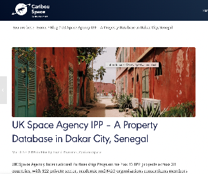
Dakar has a population estimated at 1.2 million with a rapid growth rate of 4%. The city is built on a peninsula with very little remaining land for urban development and so a lot of development is upwards. Due to lack of records and poor tax base identification only about 15% of the potential tax is currently collected. The challenge, therefore, is to support the city to generate the municipal revenue required to fund further urban services and infrastructure. The solution provided compares very high-resolution stereo imagery from the Pléiades satellites acquired on different dates. The imagery consists of an optical image as well as a height component (Digital Surface Model) to enable change detection of building growth (both horizontally and vertically). Therefore, for each land parcel, indicators of change identified in the satellite imagery will assist in the city’s land administration process and in particular to enable the Operational Maintenance of a Property Database to support property tax revenues.